In Beni Mellal, a historic agricultural area in central Morocco, summer temperatures exceed 43 degrees Celsius. Drying up the dam that supplies the area, and destroy crops, especially trees. Nearby, however, olive groves thrive in the summer heat, thanks to a spring located in the heart of the city. An ancestral sharing system allows water to be distributed among the different producing families in the area.
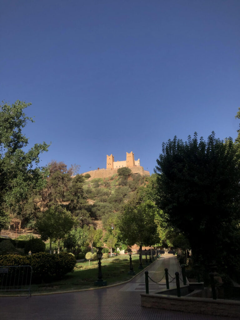
Under the crushing heat of late summer, one must cross the city of Beni Mellal, nestled at the foot of the Middle Atlas, and take the road that leads up to Borj Ras el Ain castle, overlooking the city, to access a water source that sustains the municipality... Ain Asserdoun or "mule spring" in the Amazigh language*. Its name, according to a local legend, comes from this animal that supposedly revealed the source by stumbling upon a rock several centuries ago.
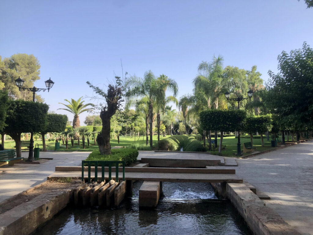
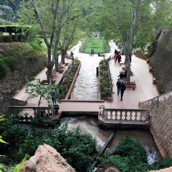
Since then, the stream with a regular flow has been arranged to flow directly towards the city, and supply residential neighborhoods and olive trees. "Historically, water is distributed among different families, according to a sharing system called 'with a pickaxe'," explains Abdelkrim Anbari, a farmer in the region and founding member of the association RACCORD*. Each canal is subdivided into smaller canals, the width of a pickaxe stroke, to take different directions as it descends.*
Subdivisions for an equitable distribution
These open-air channels are called "séguias". Four of them originate directly from the source and conduct the water in different directions through these subdivisions, spread over about ten kilometers. "The first subdivision will supply water to the families closest to the source, the second to those who are a little further away, and so on. This one, for example, benefits about twenty people and allows the irrigation of around 760 surrounding olive trees," continues the farmer, pointing to one of them.
This continuous irrigation is welcome, due to the drought that has been severely affecting the province for six consecutive years... The region of Beni Mellal, which is considered one of Morocco's "large hydraulic" areas - where canals and dams were built as early as the 1940s to transform this exclusively rain-fed agricultural land into a suitable environment for olive cultivation among others - suffers from water scarcity due to the drought.
The whole area is affected by drought
The Ahmed al Hansali dam, which takes over the irrigation of the region as soon as you move away from Beni Mellal, had a filling rate of just over 3% at the beginning of September. The three main seguias from this reservoir have been dry for over a year, and the Oum-Errabia River, the country's second largest river, no longer flows. "The entire large hydraulic zone is affected by drought, except for farmers who are lucky enough to have water on their plot, and especially the means to dig a well," explains Abdelkrim Anbari. The cost of drilling amounts to 100,000 dirhams (about 10,000 euros). On the road leading to Beni Mellal, the lush fields of alfalfa or wheat alternate with plots of pomegranates and olive trees completely burned, by the hundreds...
In this context, Aïn Asserdoun stands out as an oasis. Classified as a national heritage site since 1947, its flow is also affected. The gauges in the canals indicate that the water has decreased by 30 cm in the last five years. A new dam is currently under construction in the region, on one of the tributaries of Oum-Errabia. The goal is to receive more rainfall to ensure irrigation and the supply of drinking water to Beni Mellal in the years to come.
* The Amazigh people are the indigenous people of North Africa, from Morocco to Egypt, known as "Berbers". In Morocco, they are found in the mountainous areas of the Rif and the Atlas.
** Support network for cooperatives linked to rural development organizations, still in Beni Mellal.